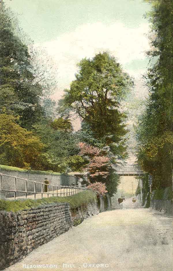
Headington Hill & Road: Introduction
The old lanes behind the Headington Road are included here, but not
Pullen’s Lane,
which merits a section of its own
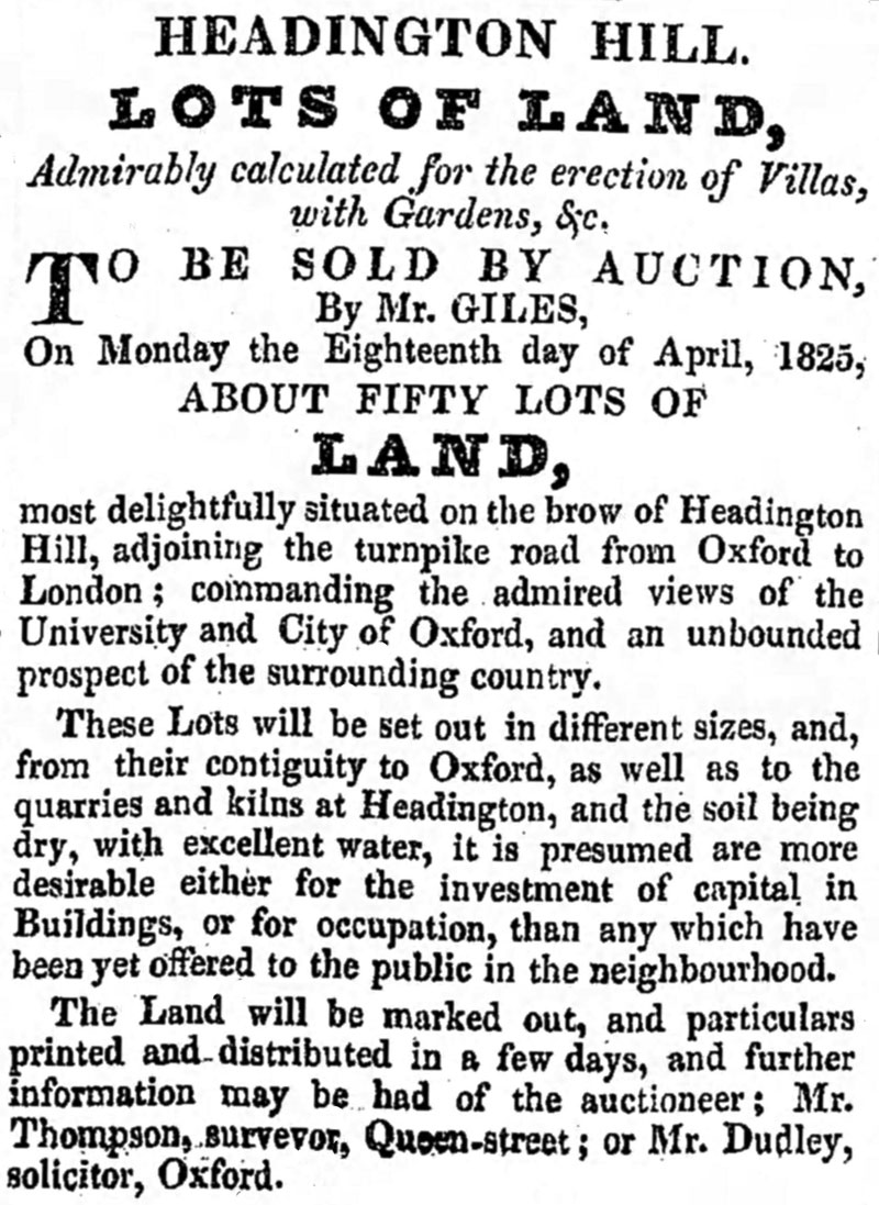
The following advertisement of a forthcoming auction of about 50 lots of land in a former market garden at the top of Headington Hill appeared in Jackson's Oxford Journal on 9 April 1825, but in the event only a few houses were built there:
In 1832 the city expanded eastwards to include not only St Clement’s, but also Headington Hill up to (but not including) the present Pullen’s Lane: map. The extract below from a map produced for the Local Board in 1883 shows the boundary of Oxford as a wide brown line which cut through the settlement at the top of Headington Hill, placing some of it in the city and the rest, including Davenport House, in Headington. The full 1883 map can be seen here and shows clearly how the parliamentary boundary (edged in blue) differed from the city boundary and included the whole of the settlement at the top of the hill

In 1889 the City of Oxford was extended eastwards to match the Parliamentary Borough, which in 1868 had been extended eastwards to the Boundary Brook which ran beside the White Horse: map. Thereafter the end of Headington Road at the White Horse signalled that the traveller had reached Headington, and was now about to embark on the turnpike road to London.
Hence it is logical to include the Headington Road — which is really the continuation of Headington Hill as far as the Boundary Brook — in this section. The rest of Headington did not become part of the City of Oxford until 1929.
The unsettled nature of the Headington Hill settlement is emphasized by the way it floats around in the censuses:
- 1841: In the Quarry census
- 1851: North side in the Old Headington census; South side in the Quarry census
- 1861 and 1871: North and South side both in the Old Headington census
- 1881: North side in the New Headington census; south side in the Old Headington census
- 1891: North side in the Old Headington census; South side in the New Headington census
- 1901: North side in the Old Headington census;
South side (i.e. houses west of the Boundary Brook) not included in Headington.
This map shows Headington Hill prior to 1868: the municipal boundary is marked in green and the parliamentary boundary in blue, and are the same in the Headington Hill area. Thus it is split in two in the 1841 census between “Headington Hill” (to the east of the boundary) and “Headington Hill PB” (to the west of the boundary, in the parliamentary borough of Oxford).
The halls on Headington Hill
Before the building of Headington Hill Hall, there were three halls for students on Headington Hill:
- Louse Hall, named after Mother Louse, the mistress of a little alehouse at the further end of Harpsichord Row, which was near the present entrance to the Marston Road. She was believed to be the last woman in England to wear a ruff.
- Cabbage Hall, founded by a tailor, was opposite Cheney Lane (then the main road to London)
- Caterpillar Hall was higher up the hill, and was probably given this name because it drew away (or “ate”) students from the inferior Cabbage Hall.
The original Headington Hill Hall was built by James Morrell senior in 1824 but this became a mere kitchen and nursery wing when his son James Morrell junior built a huge Italianate mansion next to it: full details here.
1841 census for Headington Hill
Headington Hill is listed in the Headington Quarry census book. There were then nine houses in the Parliamentary Borough to the west, of which one was in the process of being built, and two were unoccupied. Three of the houses appear to have been humble cottages, but the other three were probably more substantial and were occupied as follows:
- Richard Green, of independent means (died 1846)
- William Hanbury, cleric [possibly the man of that name who was Rector of St Ebbe's Church from 1808 until his death at the age of 82 in the Market Harborough district in 1868: he was incurably insane from about 1815]
- Henry Leake, gentleman
In the part of Headington Hill to the east of the parliamentary boundary there were six houses: one was the White Horse pub, one was occupied by a schoolmistress Elizabeth Dolley, one by a sawyer, and three by gardeners.
Headington Hill in Queensland, Australia
There is another Headington Hill in Toowoomba, Australia (map), which was probably named after a large freehold estate put together in the area by George Henry Davenport (1832–1881). He was the son of George Francis Davenport (1812–1849) and the nephew of John Marriott Davenport of Davenport House.
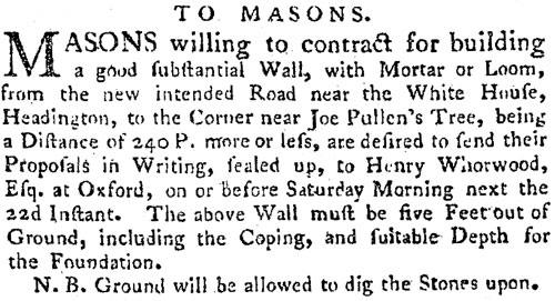
On 15 May 1802 the new Lord of the Manor of Headington, Henry Mayne Whorwood, inserted an advertisement in Jackson’s Oxford Journal putting out to tender the contract for building a five-foot wall “from the new intended Road [Osler Road] near the White House [the old name for the Britannia] to the corner near Joe Pullen’s tree”. Much of this wall still survives today along the north side of the Headington Road.
The residence rules of the University made the top of Headington Hill (almost exactly 1½ miles from Carfax) a desirable place for academics to live. At the time of the 1871 census Mark Pattison (the Rector of Lincoln College, on whom George Eliot was believed to have modelled Edward Casaubon in Middlemarch) was living in a house at the top of Headington Hill with his wife Emilia and four servants. Hill Top House can be eliminated, so the main possibilities are Swinbourne Villa and The Firs.
Notes
- Early directories sometimes describe detached buildings at the the west end of Old Road (such as the White Horse and Brookside) as being “Headington Hill”.
- The western end of Old Road, including the Warneford Asylum was also known as Headington Hill.